Search images...
Custom work
All
Photos
Illustrations
Designs
Collections
Contributors
geography
Orientation
Color
Exclude
Features
Sort by
landscape
natural
photography
view
nature
fiber
+4 more
topographic
craft
arts
wool
Copperplate Bookman
Download
Copy Murata
Download
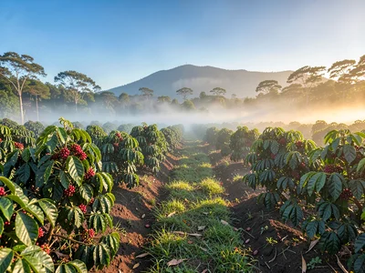
Terroir Cafe
Download
Dr. Learningwell
Download
Raymond Widefellow
Download
Thando Ndlovu
Download
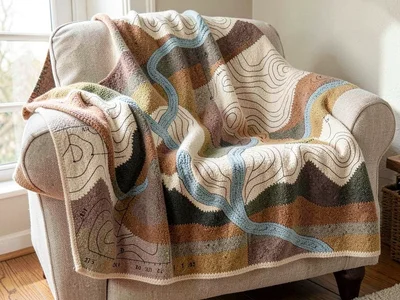
Contour Purl
Download
Contour Purl
Download
Contour Purl
Download
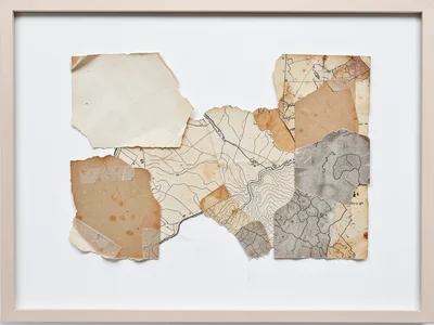
Cartographer Quest
Download
Winston Skyview
Download
Isobar Stitch
Download
Leila Inkstone
Download
Thando Ndlovu
Download
Naledi Mokoena
Download
Thando Ndlovu
Download
Contour Purl
Download
Giuliano Ferrara
Download
Contour Purl
Download
Contour Purl
Download
Contour Purl
Download
Contour Purl
Download
Contour Purl
Download
Contour Purl
Download
Cartography Charm
Download
Cartography Charm
Download
Cartography Charm
Download
Cartography Charm
Download
Cartography Charm
Download
Cartography Charm
Download
Cartography Charm
Download
Cartography Charm
Download
Cartography Charm
Download
Cartography Charm
Download
Cartography Charm
Download
Cartography Charm
Download
Cartography Charm
Download
Cartography Charm
Download
Cartography Charm
Download
Cartography Charm
Download
Cartography Charm
Download
Cartography Charm
Download
Cartography Charm
Download
Cartography Charm
Download
Cartography Charm
Download
Cartography Charm
Download
Contour Purl
Download
Contour Purl
Download
Rip van Paper
Download
Terroir Cafe
Download
Copperplate Bookman
Copy Murata
Terroir Cafe
Dr. Learningwell
Raymond Widefellow
Thando Ndlovu
Contour Purl
Contour Purl
Contour Purl
Cartographer Quest
Winston Skyview
Isobar Stitch
Leila Inkstone
Thando Ndlovu
Naledi Mokoena
Thando Ndlovu
Contour Purl
Giuliano Ferrara
Contour Purl
Contour Purl
Contour Purl
Contour Purl
Contour Purl
Contour Purl
Cartography Charm
Cartography Charm
Cartography Charm
Cartography Charm
Cartography Charm
Cartography Charm
Cartography Charm
Cartography Charm
Cartography Charm
Cartography Charm
Cartography Charm
Cartography Charm
Cartography Charm
Cartography Charm
Cartography Charm
Cartography Charm
Cartography Charm
Cartography Charm
Cartography Charm
Cartography Charm
Cartography Charm
Cartography Charm
Contour Purl
Contour Purl
Rip van Paper
Terroir Cafe
Refine with AI
%22%2F%3E%3Cstop%20offset%3D%22100%25%22%20stop-color%3D%22hsl(184%2C%2055%25%2C%2040%25)%22%2F%3E%3C%2FlinearGradient%3E%3C%2Fdefs%3E%3Crect%20fill%3D%22url(%23g)%22%20width%3D%221%22%20height%3D%221%22%2F%3E%3C%2Fsvg%3E)